In the world of archaeology, the quest for ancient treasures often feels like a high-stakes treasure hunt. But what if the treasure map came with a built-in GPS? Enter drones—the modern archaeologist’s best friend. These flying machines aren’t just for capturing stunning selfies or delivering pizza; they’re revolutionizing how we uncover the secrets of the past.
Overview of Drones in Archaeology
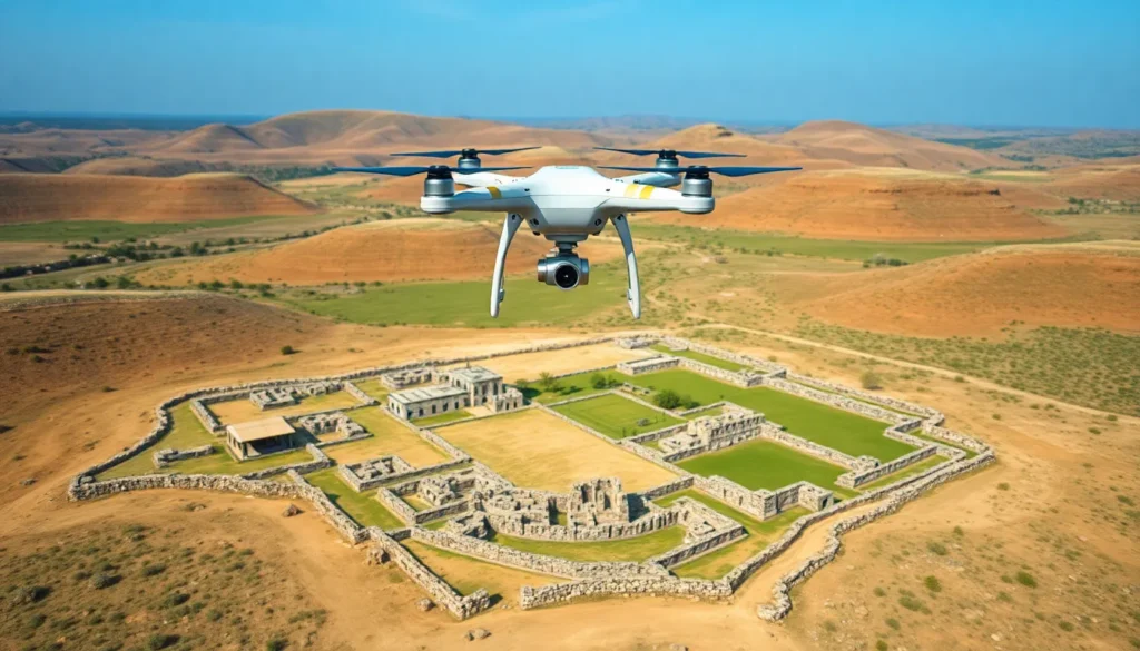
Drones significantly enhance archaeological surveys. These tools provide a bird’s-eye view of landscapes, revealing features obscured from the ground. High-resolution images captured by drones allow for detailed analysis of potential dig sites. Researchers can map terrain quickly, eliminating the need for extensive ground-based surveying.
Many archaeologists utilize drone technology for conducting site documentation. Drones record precise 3D models using photogrammetry. This method captures intricate details of structures, preserving archaeological data digitally. Such efficiency saves time and reduces labor costs associated with traditional recording methods.
Furthermore, drones assist in monitoring archaeological sites over time. They can track changes caused by erosion, climate, or human activity. Regular aerial assessments enable archaeologists to document shifting conditions, contributing to effective conservation strategies.
Both LiDAR and thermal imaging integrate with drone technology. LiDAR identifies subsurface features by measuring distances to the ground from the airborne sensor. Thermal imaging detects temperature anomalies, revealing buried structures that may otherwise remain hidden. Each of these methods expands the capabilities of archaeologists, allowing for more comprehensive studies.
Adopting drones does present challenges, including regulatory considerations. Compliance with local airspace regulations is crucial for safe operation. Training and technical skills in drone piloting and data interpretation remain essential for archaeologists seeking to leverage this technology.
Drones revolutionize archaeological practices, providing tools that enhance precision, efficiency, and knowledge in the field. Their versatility has reshaped how researchers approach the exploration of historical sites.
Benefits of Using Drones for Archaeology
Drones offer numerous advantages in archaeological research, transforming how professionals approach site exploration and data acquisition. The integration of aerial technology streamlines many processes, resulting in significant improvements.
Increased Efficiency
Drones accelerate archaeological surveys by covering large areas quickly. They capture high-resolution images that reveal subtle features and terrain variations that might take weeks to identify through ground methods. Researchers access hard-to-reach areas without extensive manpower, reducing time spent on site. By utilizing drones, archaeologists can budget time and resources more effectively, leading to faster project completion. Aerial data allows teams to focus efforts on promising sites, maximizing research outcomes.
Enhanced Data Collection
Drones facilitate comprehensive data collection through advanced imaging techniques. Photogrammetry generates detailed 3D models, providing a clear representation of archaeological sites. Using LiDAR technology, drones can penetrate dense vegetation, revealing underlying structures invisible to the naked eye. Thermal imaging helps identify subsurface anomalies, adding depth to site analysis. These enhanced data collection methods support meticulous documentation and analysis, crucial for preservation efforts and future research. Accurate data gathered from drones aids archaeologists in forming reliable conclusions about historical contexts and site significance.
Types of Drones Used in Archaeological Research
Drones play a pivotal role in archaeological research, enabling enhanced data collection and site documentation. Various types of drones contribute to this innovative approach.
Fixed-Wing Drones
Fixed-wing drones excel in surveying large areas more efficiently than other types. They achieve longer flight times and cover expansive terrains without needing frequent recharging. For instance, these drones can map extensive archaeological sites or monitor land changes over vast landscapes. Equipped with high-resolution cameras or LiDAR systems, fixed-wing drones capture detailed aerial imagery that aids in identifying potential archaeological features. Researchers often utilize this data for initial site assessments, enhancing their understanding of the landscape while minimizing ground exploration efforts.
Multi-Rotor Drones
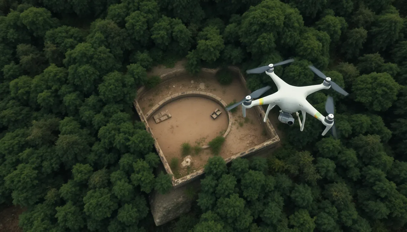
Multi-rotor drones, known for their versatility, operate effectively in varied environments, including dense forests and urban areas. Their ability to hover allows for detailed examinations of smaller, specific locations. Archaeologists often employ these drones for creating 3D models through photogrammetry, which contributes significantly to site documentation. Equipped with thermal imaging or high-resolution cameras, multi-rotor drones also detect subsurface features that are difficult to identify from the ground. These capabilities enhance researchers’ ability to investigate archaeological sites and monitor ongoing excavations.
Case Studies of Drone Applications in Archaeology
Drones increasingly prove essential in archaeology, enhancing various research aspects. Below are specific applications showcasing their impacts.
Site Mapping and Surveying
Drones excel in site mapping and surveying, allowing researchers to gather comprehensive data. They cover extensive areas rapidly, capturing high-resolution images of landscapes and archaeological features. This efficiency reduces the need for lengthy ground surveys. A notable example is the mapping of the ancient city of Angkor in Cambodia, where drones facilitated detailed surveys and highlighted previously unknown structures. Professionals often utilize photogrammetry to create 3D models, preserving data for future analysis and ensuring accurate documentation. Such applications enable archaeologists to visualize terrains and structures effectively, improving decision-making in site management.
Monitoring and Conservation
Monitoring and conservation efforts benefit significantly from drone technology. Archaeologists employ drones to track changes at historical sites over time, providing visual evidence of erosion and potential threats. For instance, researchers monitored the site of Pompeii, using drones to observe alterations caused by environmental factors. Thermal imaging capabilities allow professionals to detect subsurface features, aiding in the assessment of site preservation needs. Continuous data collection offers insights for effective conservation strategies, making it easier to respond to issues as they arise. These practices contribute to maintaining the integrity of archaeological sites while also supporting long-term preservation efforts.
Challenges and Limitations
Drones present opportunities in archaeology, but they come with challenges that researchers must navigate.
Technical Constraints
Technical limitations can hinder effective drone usage in archaeological applications. Battery life affects flight duration, limiting coverage of large areas. Weather conditions also play a significant role; factors like rain or high winds can ground operations and restrict data collection. Furthermore, drone sensors may struggle in dense vegetation or rugged terrain, impacting image quality and data accuracy. Many researchers experience a learning curve with programming and operating complex drone systems, affecting the efficiency of data collection.
Ethical Considerations
Ethical challenges arise in using drones for archaeological purposes. Researchers must respect privacy rights when surveying areas close to personal properties, ensuring that data collection doesn’t infringe upon individuals’ freedoms. Moreover, cultural sensitivity is critical; not all communities view aerial surveys favorably. Consent from local authorities or indigenous groups often remains necessary to avoid potential conflicts. Lastly, the preservation of archaeological sites requires attention; researchers must avoid overexposing sensitive areas to drone surveillance to prevent inadvertent damage or looting.
Drones have undeniably transformed the field of archaeology by offering innovative solutions for exploration and preservation. Their ability to provide detailed aerial imagery and efficient mapping capabilities allows archaeologists to uncover hidden features and monitor sites effectively. The integration of advanced technologies like LiDAR and thermal imaging further enhances their utility, making it possible to reveal subsurface structures that were once inaccessible.
While challenges remain in terms of regulations and ethical considerations, the benefits of drone technology in archaeology far outweigh the obstacles. As this field continues to evolve, drones will play an increasingly vital role in advancing archaeological research and ensuring the protection of invaluable cultural heritage.