In a world where mapping the great outdoors no longer requires a compass and a questionable sense of direction, drone mapping software has swooped in like a superhero. Gone are the days of squinting at paper maps or getting lost in the wilderness—now, all it takes is a drone and a few clicks. This tech marvel not only saves time but also offers stunningly precise data that’ll make even the most seasoned cartographer do a double-take.
Overview of Drone Mapping Software
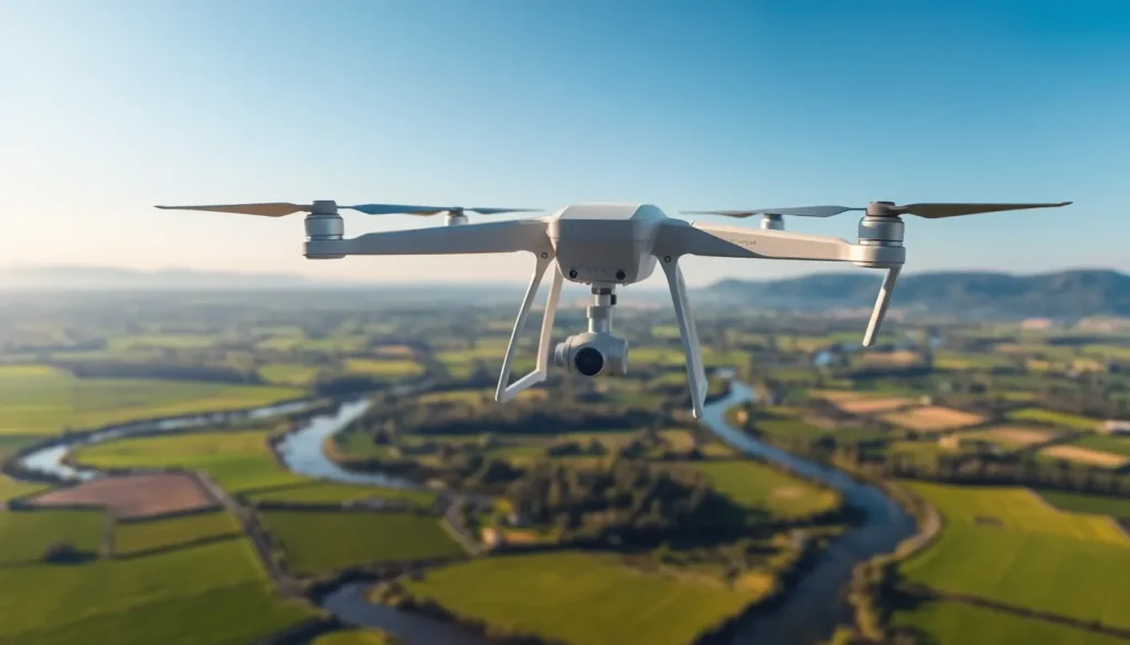
Drone mapping software facilitates the creation of high-resolution maps and 3D models. This type of software utilizes data collected from drones equipped with cameras, LiDAR, and other sensors. Users can analyze topography and surface characteristics, allowing for applications in agriculture, construction, and environmental monitoring.
Accuracy of this software is significant, as it often achieves 2-5 cm precision levels. With automation features, users save time by streamlining the mapping process. Drones can cover large geographical areas quickly, minimizing the effort needed compared to traditional mapping techniques.
Key software options include Pix4D, DroneDeploy, and Agisoft Metashape. Each program offers unique features tailored to specific industries. For example, Pix4D excels in photogrammetry, while DroneDeploy provides user-friendly interfaces for various mapping tasks.
Implementation of drone mapping software requires minimal technical knowledge. Most platforms offer tutorials and customer support, assisting users in getting started effectively. Integration with GIS software enhances data visualization, enabling better decision-making through analyzed geospatial information.
Cost considerations vary based on software capabilities and license types. Subscription models often provide flexibility for users needing temporary access. Investing in this technology typically leads to improved operational efficiency and data accuracy.
Growth of drone mapping technology continues, with advancements being made in image processing and machine learning. As drones become more accessible, demand for effective mapping solutions increases. Integration with emerging technologies positions drone mapping software as a pivotal tool in modern cartography.
Key Features of Drone Mapping Software

Drone mapping software offers essential features that enhance the efficiency and accuracy of mapping projects.
Image Processing
High-quality image processing stands out as a crucial aspect of drone mapping software. This capability allows users to stitch together images captured from various angles, producing detailed orthomosaics. It supports photogrammetry processes, ensuring maps maintain sharpness and clarity. Advanced algorithms analyze image data to correct distortions. Users appreciate features like automatic georeferencing, which simplifies the workflow. Often, the software integrates seamlessly with various drone camera types, maximizing mapping potential.
Data Analysis
Robust data analysis features enhance decision-making capabilities in mapping projects. Users can process vast quantities of data quickly, providing insights that inform land use planning and environmental assessments. The software often supports 2D and 3D visualization options, making complex data accessible. Geospatial analysis tools enable users to identify patterns and trends in the mapped area. Time-series analysis becomes possible with some platforms, offering a dynamic view of changes over time. Overall, effective data analysis helps users make informed decisions.
Integration Capabilities
Integration capabilities of drone mapping software greatly enhance its functionality. Compatibility with geographic information systems (GIS) allows for deeper data analysis and manipulation. Software often integrates with cloud storage solutions, ensuring easy access to stored data. Users enjoy the ability to connect with other software tools for seamless workflows. Options to export data in multiple formats facilitate collaboration with stakeholders. Collaboration becomes more efficient as the software accommodates various platforms and technologies.
Benefits of Using Drone Mapping Software
Drone mapping software provides significant advantages across various industries, revolutionizing how professionals approach projects.
Cost-Effectiveness
Cost-effective solutions emerge through drone mapping software as it reduces reliance on expensive equipment and labor-intensive processes. Traditional surveying often incurs high expenses for labor, transportation, and materials. In contrast, drone mapping often minimizes these costs while delivering high-quality results. For example, the time saved in data collection translates to lower overall project costs. Several software platforms, such as DroneDeploy, enhance affordability by offering subscription models tailored to different needs, allowing businesses to control their expenses effectively.
Efficiency and Speed
Efficiency and speed rank among the most significant benefits of utilizing drone mapping software. Users can generate high-resolution maps within hours instead of days, streamlining project timelines. Automation in data processing further accelerates workflows by reducing manual tasks associated with traditional mapping techniques. Quick data acquisition makes it possible for teams to respond to changes in the field swiftly. Multiple industries, like agriculture and construction, enjoy streamlined operations and increased productivity, enabling them to focus on critical decisions rather than lengthy data collection.
Accuracy and Precision
Accuracy and precision become defining characteristics of drone mapping software. Achieving resolutions as precise as 2-5 cm enhances the reliability of mapped data. High-quality imaging combined with advanced algorithms ensures that the final outputs meet rigorous industry standards. Users experience significant improvements in data analysis, leading to better-informed decisions based on accurate geographical information. This level of precision supports applications in various fields, including land surveying and environmental monitoring, where even minor discrepancies can lead to major implications.
Popular Drone Mapping Software Solutions
Numerous drone mapping software solutions excel in delivering precision and efficiency. These tools cater to various industries, each offering unique features.
Pix4D
Pix4D stands out for its advanced photogrammetry capabilities. Users can create high-resolution maps and 3D models with impressive accuracy typically ranging from 2-5 cm. The software integrates seamlessly with various drones, making it versatile for professionals in surveying, agriculture, and construction. Additionally, automated workflows streamline data processing, significantly reducing time invested in mapping projects. This tool also provides extensive customer support, ensuring users can maximize its potential from the start.
DroneDeploy
DroneDeploy offers a user-friendly interface suitable for beginners and experts alike. This robust platform allows for real-time data collection and instant mapping, which facilitates quick decision-making. It supports various drone types and provides ample processing capabilities to handle large data sets efficiently. Users appreciate the integration with GIS tools that enhances data analysis and visualization. It also features automation in image stitching, producing seamless orthomosaics effortlessly.
Agisoft Metashape
Agisoft Metashape excels in producing detailed 3D models and aerial imagery. The software serves as an industry favorite for its powerful data processing features, enabling swift generation of spatial data from drone imagery. Its functionality extends to both photogrammetry and LiDAR data, catering to diverse project needs. Users benefit from detailed visual outputs, which support thorough analysis and reporting. Moreover, comprehensive tutorials help users navigate its advanced capabilities with ease.
Drone mapping software represents a significant leap forward in the fields of navigation and cartography. Its ability to create high-resolution maps and 3D models with remarkable accuracy transforms how industries approach data collection and analysis. As technology continues to evolve users can expect even greater efficiencies and capabilities.
The integration of automation and advanced data processing features enhances decision-making processes while reducing costs and project timelines. With a variety of software options available each tailored to specific needs the future of drone mapping looks promising. Embracing this technology not only streamlines workflows but also positions businesses at the forefront of innovation in their respective fields.